
Work a Perry Township Street Directory
A street search works best when it begins with a known address rather than a person’s name. The Stark County Real Estate Search ties a site address to a parcel identifier, an owner of record, legal-description lines, tax district, sale information, and a map link. Those details lead to a current property record. They do not establish every person at the address. The Auditor help recommends searching the house number and main street word first, omitting the suffix for a broad search, then choosing the correct result by its situs address and PIN.
Keep the result focused on the parcel. The same street word can return more than one segment or municipality. A tax mailing address can differ from the physical site, and a credit or exemption is a tax-record attribute, not proof that a particular person currently occupies the home. That distinction is what makes the Perry Township street directory useful for property questions without overstating what county data can show about a household.
- Search the address or main street word in the Auditor’s Basic Search and select the result that matches the house number, situs address, and parcel PIN.
- Record the PIN, legal description, tax district, owner name, site address, mailing fields, recent sale information, and the linked map route.
- Open the GIS map and identify the chosen parcel before moving along the street to surrounding lots.
- Use the owner, legal description, subdivision phrase, or deed details in the Stark County Recorder search to find the recorded land-document trail.
- For a dated person-at-address lead, ask Stark Library for the relevant Canton Haines Criss+Cross and alphabetical directory material, then corroborate the clue with a suitable historical record.
Note: A street query produces parcel candidates, not a verified roster of all current occupants.
Perry Township Street Directory Fields
The Auditor’s Basic and Advanced modes make the address portion of a Perry Township street directory repeatable. The county’s help material documents a full or partial ten-character Parcel ID, owner text in LastName FirstName form, address text, street components, City, Zip Code, sort controls, and map-oriented options. Text searches accept an internal asterisk, and the help says an ending wildcard is assumed. The portal also has Advanced and GIS/Map modes, but the basic address route is usually the clearest first stop for one property.
| Auditor field | Entry type | How it helps a street search |
|---|---|---|
| Parcel ID | Optional text | Uses the known PIN as the cleanest parcel-level identifier. |
| Owner | Optional text | Accepts a full or partial owner name, with no comma in the documented name format. |
| Address or Street | Optional text | Starts with a house number, street word, or direction; omit suffix for wider retrieval. |
| City and Zip Code | Optional controls | Narrows parcel candidates, but a postal label does not settle township or municipal boundaries. |
| Advanced group and criteria | Required in Advanced mode | Builds a selected condition from the documented Residential/Agricultural or Commercial groups. |
The profile includes links to values, sale, tax, tax-map, aerial-map, and printable views. When using the Perry Township street directory, retain the parcel identifier with the result. Reference data can be incomplete, outdated, or different from a recorded instrument, so legal transaction questions belong with the original document or the county office.
Map a Perry Township Street Segment
The Stark County parcel GIS viewer turns an Auditor result into a visual street segment. Start with the highlighted parcel, then pan and use Select or Identify on the adjoining polygons. Map Contents can display Parcels, Roads and Addresses, Tax Map Land Annotations and Lines, Contours, Flood Plains, neighborhood data, Tax Map Boundaries, Zoning, and aerial imagery. Point, box, and freehand selection are useful when parcels do not read as a simple left-to-right row.
The Stark County Tax Map Department explains the paper trail beneath those shapes. Its maps are generated from recorded deeds, plats, and surveys, and the department reviews conveyances, parcel splits, combinations, replats, annexations, street dedications, and vacations. The tax-map image below is a useful reminder that a street name alone may be less durable than the lot, subdivision, or legal description attached to it.
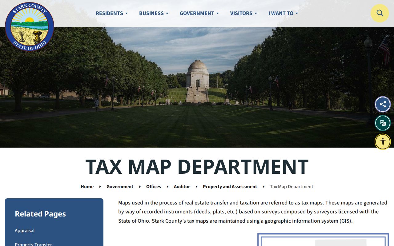
Use the tax-map route to resolve the parcel or plat before trying to connect an old address form with a deed. The map can orient the search, but it is not a survey and it does not identify household members.
Note: Measure tools provide orientation only and should not be used as a legal boundary determination.
Perry Township Street Directory Records
Several offices keep records keyed to an address, lot, parcel, or legal description. The following sources do not merge into one people list. Instead, each answers a narrower question about the property, its history, or a specified public record. The Auditor and GIS pair are the current parcel layer; the Recorder is the recorded-document layer; the township adds a project-permit route.
| Address record | Custodian | Useful street evidence | Access boundary |
|---|---|---|---|
| Parcel profile | Stark County Auditor | Site, owner, tax mailing address, values, legal description, and tax district | Free online reference record; current data only |
| Parcel map and tax map | Stark County GIS and Auditor | Lot outline, roads, address layers, plats, zoning, and adjacent parcels | Public map tools; no household composition |
| Recorded instruments | Stark County Recorder | Parties, instrument data, book/page, document type, and legal description | Free public portal and counter assistance; online start year is not stated |
| Zoning permit material | Perry Township Zoning | Lot, premises, applicant, project, setbacks, and site-plan evidence | iWorQ portal or counter; historic public search fields were not verified |
| Individual voter confirmation | Board of Elections | Registration or precinct lead for an identified voter | Protected fields and tools prevent a verified by-street browse |
The Ohio Voter Search requires first name, last name, and county. Stark Voter View additionally requires a last name and date of birth. Those tools may help an individual confirm a record, but the documented forms are not a means to compile a street-wide list.
Follow Perry Township Street Deeds
When the question changes from the current parcel to ownership history, use the legal description as the bridge. The Recorder’s history describes Stark County land-document custody from 1809, but the active web search does not state its earliest online date. A missed online result is therefore not proof that an older deed is absent. The Recorder’s counter is the fallback for an older indexing question, a document that will not surface online, or assistance with a certified need.
In Recorder Quick Search, the visible prompt supports grantor, grantee, subdivision, document type, or document number terms, a recorded-date range, and a choice between Index Only and Index & Full Text (OCR). Index Only treats two or more words individually, while the OCR selection searches them as a phrase. A result can identify Instrument Number, Book, Page, Recorded date, Document Type, Name, Other Name, Legal Description, and Marginal. Read the document image when available, because the index is a locator rather than the whole instrument.
Stark County’s public parcel GIS service documents fields that help keep the link intact, including owner and mailing fields, site address, legal description, acres, neighborhood, tax district, recent sale date, recent sale price, and prior owner. The captured service image shows the parcel-data source used to connect a location with its map attributes.
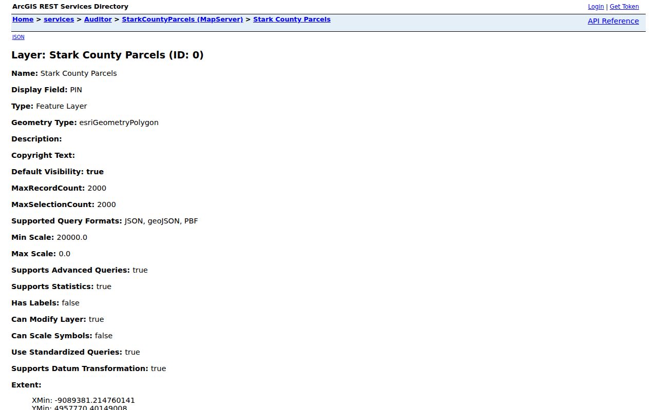
Move backward by retaining the same legal description while searching the prior party and instrument. This part of a Perry Township street directory follows land, rather than a presumed household. The address may have a newer postal or municipal label, while the lot or subdivision phrase carries the land trail through the recorded chain.
Perry Township Street Permit Evidence
Perry Township zoning records can add a local physical-change layer for a particular property. The township states that permits are required in its unincorporated territory for new structures, enlargement or renovation, and residential or commercial accessory structures. The documented general permit form includes applicant and lot-owner fields, premises address, parcel number, project dimensions, setback information, proposed use, and a scaled site plan. It can help date a proposed or approved improvement. It cannot prove that an applicant or lot owner later lived on the property.
The township-linked iWorQ zoning portal is the online route for permits, variances, zoning changes, and concerns. The public research did not verify a searchable historic-permit field set, so a precise counter or records request remains the appropriate fallback when an online query does not return an existing record. Perry Township’s public-records policy names the Fiscal Officer as records custodian and does not require the township to create a new compilation.
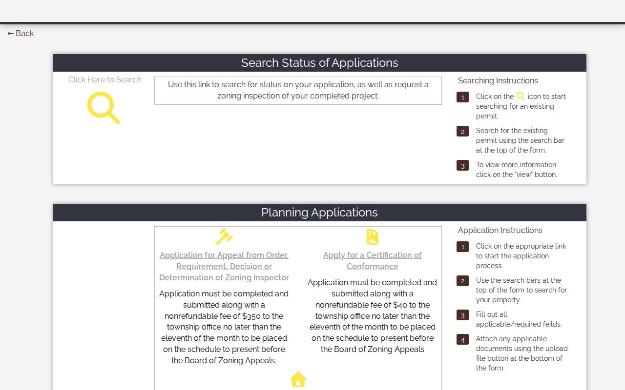
The zoning image belongs beside a parcel-based question because it documents the municipal layer of address evidence. Survey pins, not pavement or sidewalk edges, control property-line information on the permit form.
Perry Township Street Labels Change
Perry Township sits between Canton and Massillon, and address research must allow for changing municipal and postal labels. The county’s 2025 comprehensive plan documents substantial annexations to Massillon, with smaller Navarre and Canton entries. An older record described as Perry Township can therefore appear under a current Massillon, Canton, or Navarre label. A ZIP or city word is not enough to settle the issue.
This is a records-geography problem, not a documented township-wide street-renumbering story. No authoritative source in the research located a Perry Township renumbering or renaming date. Preserve the parcel PIN and legal description, check the Tax Map Department’s plats and annexation context, and search the historic township term alongside the present municipal label. Those stable land references are more dependable than guessing from a mailing address.
Note: The Road Department maintains township roads and signs, but the research did not identify it as a Perry Township E911-addressing authority.
Past Perry Township Street Listings
For a historical household clue, Stark Library Family & Local History offers Canton City Directory and Canton Haines Criss+Cross Directory material. The collections are county-region tools, not a separate township directory. A correct use is to identify the exact volume and address section, treat the printed listing as dated evidence, and then compare it with a deed, census, newspaper, probate, or other suitable record. The full historical shelf is covered in the Perry Township directory book.
- Parcel
- A county-defined tract of land with a PIN and tax record. It is the starting unit for an address search.
- Situs address
- The physical parcel location used on the Auditor record. It can differ from the owner’s tax mailing address.
- Plat
- A recorded subdivision or survey map that helps connect a lot to its legal description.
- Criss-cross directory
- A reverse address section that can place a printed listing at a street address for a particular edition.
A dated directory entry can be valuable, especially where annexation clouds an old label. The historical portion of a Perry Township street directory is a lead, not title proof, and an unverified year run should be confirmed with a librarian before drawing conclusions.
Perry Township Street Directory Limits
Public parcel records identify owners of record and land attributes. They do not list every occupant, all adult household members, minors, utility customers, delivery information, or an individual’s daily routine. Auditor owner-occupancy credits and a tax mailing address should not be converted into claims about who lives at the situs. BMV personal data are restricted, and confidential voter and Safe at Home protections can make information unavailable or redacted.
Ohio’s Public Records Act, R.C. 149.43, provides a route to ask an agency for an existing record, with prompt inspection and copies subject to applicable exceptions and redaction. It does not require an office to build a new street list or disclose protected fields. Ask for a defined existing record, identify the relevant parcel or date range, and use the custodian’s response rather than filling a gap with an assumption.
Lawful use. Perry Township address records are for personal, civic, family-history, and property questions. Ohio laws on stalking and harassing communications prohibit using records to watch, intimidate, threaten, or repeatedly contact another person.