
Perry Township ZIP Code Coverage
Perry Township, Stark County sits between Canton and Massillon, so its postal geography is not a single local label. Research located six ZIP code candidates that can intersect the township or its edges. The official sources did not publish a township-wide ZIP boundary table, a verified share for every candidate, or a PO-box and unique-ZIP inventory. The entries below are deliberately framed as candidates. Check the specific delivery address through USPS before treating any ZIP code as part of a particular Perry Township parcel.
| ZIP Code | Areas covered | Postal community | Local notes |
|---|---|---|---|
| 44646 | Massillon postal area intersecting Perry Township | Massillon | Candidate supported by the township hall postal address. Validate the individual address. |
| 44647 | Massillon and surrounding Stark geography | Massillon area | Township boundary share and post-office assignment were not found in an official table. |
| 44662 | Navarre postal area and township-edge context | Navarre area | Candidate only. Confirm the parcel through USPS and county map records. |
| 44706 | Canton postal area and township-edge context | Canton area | Exact Perry Township share was not confirmed in the reviewed official sources. |
| 44708 | Canton postal area with Perry Sippo Branch context | Canton area | Candidate supported by the official branch address. Validate every address. |
| 44710 | Canton postal area and township-edge context | Canton area | Exact township boundary share and post-office assignment remain unverified. |
A postal city is not the same thing as a township or a tax district. County rate materials name Perry Township combinations with Perry, Fairless, Jackson, Massillon, Tuslaw, and Canton school or municipal districts. The practical result is simple: read the parcel’s situs and legal description, then verify the delivery address, rather than relying on a ZIP code alone.
Note: No official source reviewed here identifies every ZIP code, PO-box ZIP, or unique ZIP that may serve Perry Township.
Perry Township ZIP Code Verification
USPS ZIP Code Lookup is the official postal check in the research. Its By Address mode uses a required street address with optional company and apartment or suite fields, plus city, state, and ZIP inputs. By City and State requires both of those fields. Cities by ZIP Code begins with the ZIP itself. Each route uses a Find action. USPS may standardize the address it returns, and the result does not promise that a named person or company is at that address.
Use the full address each time a ZIP is material to the research. This keeps a township edge, a city-style mailing label, and a rural-looking address from being merged into one claim. USPS verifies delivery addressing. It does not supply the legal description, current owner, school district, or a list of residents. Those are county-record questions.
Stark County’s communities page identifies Perry Township in the county context used for a ZIP code search.

The community identity helps distinguish the target from Ohio’s other Perry Townships, but it does not turn a postal label into a boundary line.
Perry Township ZIP Parcel Searches
The Stark County Real Estate Search is the local portal that accepts ZIP code as a property-search criterion. Its Basic screen includes City and Zip Code fields. The Advanced Search help states that multiple ZIP values can be entered with commas and no spaces. That filter narrows county parcel candidates. It does not search voters, all postal deliveries, or every resident in a ZIP code.
| Property-search control | How it helps a ZIP code search | Boundary to keep in mind |
|---|---|---|
| Zip Code | Narrows the county parcel roll; Advanced Search accepts multiple comma-separated ZIP values with no spaces. | Matches parcel data, not a resident roster or a township map. |
| Address and Street | Lets a verified delivery address be checked against a parcel candidate. | Address strings may vary over time or across municipal labels. |
| Parcel ID | Provides the cleanest parcel-level identifier once the correct result is selected. | It must be recorded with the source result, not inferred from the ZIP. |
| City and map modes | Offer another way to inspect the parcel and connected GIS map application. | A city term or map label does not decide township status by itself. |
- Check the exact delivery address with the USPS lookup, and save the standardized result only as postal context.
- Enter the confirmed ZIP code in the property portal, then refine with street, address, owner, or parcel information until the right parcel is selected.
- Read the situs, legal description, tax district, and map link on the parcel card. Keep the PIN and legal description for later record work.
- Use the street and parcel result for a narrower address chain. The Perry Township Street Directory handles that by-street research.
Recorder search is not documented as a ZIP-filtered public route. Its Quick Search works from party, subdivision, document type, document number, date, and index or OCR scope. Ohio Voter Search requires a county and may narrow by street, rather than using ZIP code as its primary public filter.
Perry Township ZIP Code Labels
ZIP codes, city names, township lines, and tax districts can disagree in Perry Township because they describe different systems. The 2025 Perry comprehensive plan records substantial annexation into Massillon, with smaller entries into Navarre and Canton. It reports 2,198.52 acres annexed to Massillon in the 1980s, 1,575.08 in the 1990s, 592.93 in the 2000s, and 148.69 in the 2010s. An older Perry Township address can therefore lead to a current Massillon, Canton, or Navarre municipal or postal label.
That history is why a postal search should never decide locality from a mailing city. Search the street, parcel, and legal description across the historic township and present municipality. The Tax Map Department reviews deeds, plats, surveys, annexations, subdivisions, street dedications, and vacations. Its map work is the right bridge when an address appears to switch labels.
The Census profile for Perry Township provides the geographic context behind a ZIP code result.
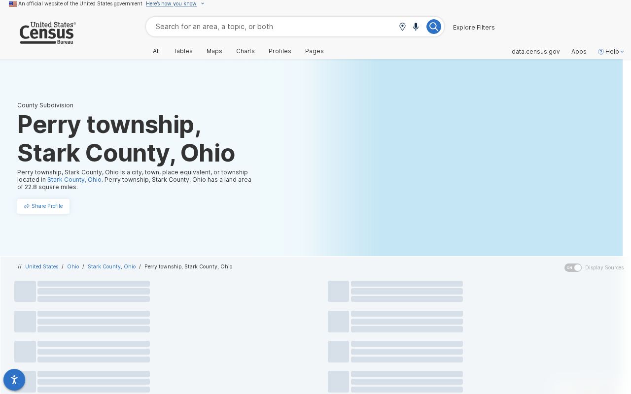
The profile identifies a township geography, while USPS and county parcel records answer different, address-level questions.
Perry Township ZIP Code Keys
Three address terms should stay separate in a Perry Township ZIP code search. A situs is the physical parcel location used by the Auditor. A mailing address is where tax correspondence goes and can name another place, person, or business. A legal description is the lot, subdivision, metes-and-bounds, or other land description carried in deed and tax-map records. It is the durable link when a postal label or municipal line moves.
- ZIP and ZIP+4
- A ZIP code identifies a postal delivery area. ZIP+4 adds a smaller delivery segment to that code. Neither one proves township jurisdiction.
- PO-box ZIP
- A PO-box ZIP serves post office boxes and may not describe nearby street delivery. No Perry Township inventory was verified in the research.
- Unique ZIP
- A unique ZIP is assigned to one organization or high-volume receiver. No township example was verified in the reviewed sources.
- Carrier route
- A carrier route is a mail-delivery grouping used by USPS. It is not a civil boundary or a public resident list.
The Auditor’s parcel GIS service distinguishes owner and mailing strings from the site address, and records legal description, land use, acres, neighborhood, tax district, values, sale date, sale price, and prior owner fields. That detail helps test whether two postal labels point to the same parcel. It still does not identify every household member.
Note: Preserve the PIN and legal description whenever a ZIP code, mailing label, or municipality changes across a record trail.
Perry Township ZIP Code Geography
Subdivision growth adds another layer to Perry Township postal research. The 2025 plan reports more than 1,000 subdivision lots created in each decade before 1980, concentrated largely in the northeast quadrant, then lower totals in later decades. The reported counts are 5,268 before 1950, 1,902 in the 1950s, 1,152 in the 1960s, 2,115 in the 1970s, 95 in the 1980s, 261 in the 1990s, 290 in the 2000s, 119 in the 2010s, and 24 in the 2020s.
Those figures explain why a modern ZIP code and street string may not be enough for an older property question. A subdivision name, plat, lot number, tax-map reference, or legal description may link a current parcel to an older record better than the postal city does. No official source in the research identified a townshipwide directional grid, an address-renumbering date, or an E911 addressing authority. Annexation, not a verified renumbering event, is the documented Perry Township address trap.
Perry Township ZIP Map Context
The Perry Township Zoning Department provides an official local map and permit context for land in the unincorporated township. Its linked iWorQ portal accepts permit, variance, zoning-change, and concern submissions, but the research did not verify public historic permit-search fields. Zoning material can help identify a lot or project context after the county parcel has been found. It should not be used as proof that a person occupies a property.
The township zoning and map resource provides local context for Perry Township ZIP code geography.
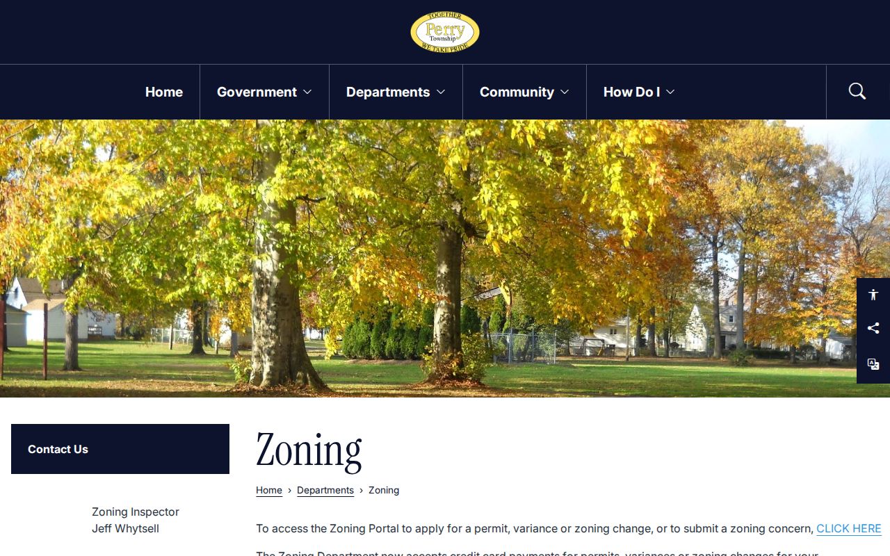
The township resource complements the Auditor and Tax Map Department, but address-level USPS validation remains necessary for every delivery ZIP claim.
Perry Township ZIP Code Limits
The candidate ZIP table is not a substitute for an official boundary decision. The research found no public official townshipwide ZIP map, no confirmed postal assignment table for each listed candidate, and no confirmed PO-box or unique-ZIP list. A correct result may also have a city name that differs from the township, a school-district designation that differs from both, and a tax district that changes by parcel.
For a dispute, record correction, tax question, or legal-description problem, contact the appropriate county custodian rather than relying on a web map or a screen print. The Stark County Tax Map Department handles map, legal-description, subdivision, annexation, and conveyance review functions. An online property screen is reference material and does not replace the recorded instrument for a legal transaction.
Address caution. Treat Perry Township ZIP codes as postal candidates. Validate each full address with USPS and use county parcel records for ownership, situs, and legal-description questions.