
Find Perry Township Neighbors
Records around a Perry Township address are strongest when they are used by source type. The Stark County GIS map can show parcels that meet, face, or sit near a selected parcel. The Auditor profile then identifies an owner of record and land fields for each selected lot. The Recorder adds deed, plat, and legal-description context. These are block facts, not a directory of every neighbor who may live at an address.
Begin with one confirmed property. A parcel opposite a road, a rear lot, or a condominium can look adjacent on a map while not fitting an ordinary next-door relationship. Map geometry, subdivision lines, and the legal description help explain that difference. The documented sources below show the evidence each route can provide and the boundary that must stay with it.
| Block source | What it can establish | Access and boundary |
|---|---|---|
| GIS selected parcels | Nearby parcel polygons, roads, lot lines, zoning, flood, and district context | Public map browse and Identify tools; geometry is not a people list |
| Auditor profiles | Owner of record, situs and mailing fields, legal description, sales, and tax attributes | Current reference data; does not identify all household members |
| Recorder instruments and plats | Owner parties, deed chain, subdivision material, and recorded legal descriptions | Search by party, document, or legal description; verify images or counter copies |
| Voter confirmation | Registration or precinct lead for an identified voter | Statutory protections apply; no verified official street-wide browse exists |
| Township zoning file | Lot, project, applicant, and zoning context for a specified property | iWorQ or counter route; historic public search fields are unverified |
Note: A current owner record can support a parcel question, but it does not establish who is present at a property today.
Perry Township Block Records
The Stark County Real Estate Search is the starting point for a confirmed address. Its parcel profile can show the PIN, owner name, owner and tax mailing fields, site address, legal-description lines, district, acreage, sale information, values, and map link. The site and mailing addresses may differ. A mailing address can belong to an agent, trust, business, tax preparer, or a nonresident owner, so it should not be recast as a statement about where an individual lives.
Official county sources and commercial neighbor-search categories have different roles. The official sources identify their custodian, field limits, and record type. Commercial results can mix records of different dates, obscure their source, or attach a person to an address without explaining the match. Use a current parcel record, the map, and the Recorder for a property question, then contact the custodian if an underlying record needs review.
| Official block record | Commercial neighbor-search category | Practical difference |
|---|---|---|
| Identifies its office and source fields | May combine data from multiple dates or sources | County records let the reader inspect the actual parcel or document context. |
| Separates site, mailing, legal-description, and owner fields | May present one address as a broad personal profile | Field labels help avoid turning a tax mailing address into an occupancy claim. |
| Provides a counter or records-request route | Uses its own correction procedures | Questions about a public record belong with the agency that keeps it. |
Map Perry Township Neighbors Parcels
The adjacent-parcel method begins on the map, not with a name. From a verified Auditor result, use the linked GIS map and keep the chosen parcel highlighted. Pan to polygons that touch it or lie on the same segment. Point, box, or freehand Select and Identify tools can isolate one or more nearby lots. Then open each parcel profile and record its PIN, site address, owner-of-record fields, and legal description before deciding whether it belongs in the block question.
- Find the known address in the Auditor search and confirm the selected parcel by its situs address and PIN.
- Open the GIS map, retain the highlight, and inspect nearby polygons with Select or Identify rather than relying on a visual guess.
- Turn on parcel, road-and-address, Tax Map Land Annotations and Lines, zoning, aerial, or subdivision layers when the relationship between lots is unclear.
- Open each selected parcel profile for current owner-of-record and legal-description context, then use the Recorder only when a recorded land trail is relevant.
This flow produces a reproducible adjacent-parcel list. For a full named-street chain, including the Auditor-to-Recorder workflow and historical address sources, use the Perry Township street directory.
Perry Township GIS Layers
The Stark County parcel GIS viewer supplies the map layer for Perry Township neighbors. Its documented controls include Search, parcel selection, Identify, pan and zoom, full extent, back and forward selection, point/distance/area Measure, Query, Feature Summary, Charts and Tables, layer controls, Print, and Download. The live app can change, so any label-output option should be reviewed in the current interface before relying on it.
Use the map to orient the block, not to make a legal boundary determination. Measure is a navigation tool. Tax Map Land Annotations and Lines can help resolve a lot or subdivision pattern, while road, address, zoning, and aerial layers give the selected parcel its surroundings. The Auditor record remains the current owner-of-record source linked to the map.
Perry Township Voter Boundaries
Ohio provides individual voter-search tools, not the block list that some people assume exists. Ohio Voter Search requires a first name, last name, and county, then may ask the user to narrow by street name. Stark Voter View requires a last name and date of birth. Their purpose is confirmation of a particular voter’s registration and precinct information, not creating a list of neighbors along a street.
Ohio Revised Code 3503.13 makes registration records public subject to exclusions. Social Security numbers, identification information, telephone numbers, email addresses, confidential registrations, and protected addresses are not public lookup fields. A missing result can reflect timing, an old address, a move, correction, cancellation, or statutory confidentiality. It should never be treated as a conclusion about a person’s present location.
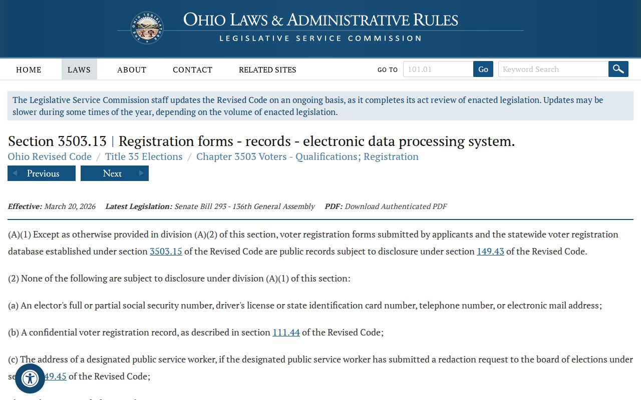
The statute image reinforces why voter data needs a narrow use. Individual registration evidence cannot establish the other people in a household, and protected records must remain protected.
Note: Ohio records participation history, not ballot choices, and Ohio does not register voters by political party in the ordinary registration record.
Perry Township Community Contacts
The community-directory layer is much thinner than the parcel layer. The official Perry Township Community page does not provide a neighborhood-association, HOA, or block-watch roster. The township’s 2023 newsletter does name Perry Helping Perry, a food-pantry effort formed in 2010, and Perry Project Group, linked to a Meredith Park fundraiser. These are genuine community references, but neither source establishes that the groups publish member names or serve a specific block.
Perry Helping Perry
Township newsletter reference to a food-pantry effort formed in 2010. A public member roster was not located.
Perry Project Group
Township newsletter reference connected with a Meredith Park fundraiser. A public member roster was not located.
Township Community Page
Public events and services contact route. It does not inventory neighborhood groups or associations.
Voluntary community contacts can be useful for reconnecting with long-standing local groups. They are not proof of residence, ownership, membership, or coverage of a particular address. No authoritative Perry Township association directory was located, so the absence should remain visible rather than being filled with informal claims.
Perry Township Public Record Requests
When a relevant existing township record is not online, the request should name the record, property, and date range as precisely as possible. Ohio’s Public Records Act provides for prompt inspection and copies within a reasonable period, subject to exemptions and redaction. It does not require Perry Township or a county office to create a new neighborhood compilation, conduct research, or disclose protected information. The Township Fiscal Officer is named as records custodian in the local public-records policy.
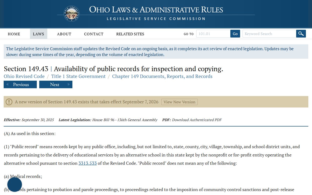
The statute is useful as a request fallback, especially for an existing zoning or township record. It preserves the difference between asking for a defined record and asking an office to build a list about people on a block.
For police material, the Perry Township Police FAQ directs users to the Records Department for full reports with photographs and statements, while basic crash-report access uses the state route. Police Records hours are Monday through Friday, 8 a.m. to 4 p.m., at 330-478-5121, prompt 2. Confidential victim information, juvenile material, active investigative information, and redacted details may not be available.
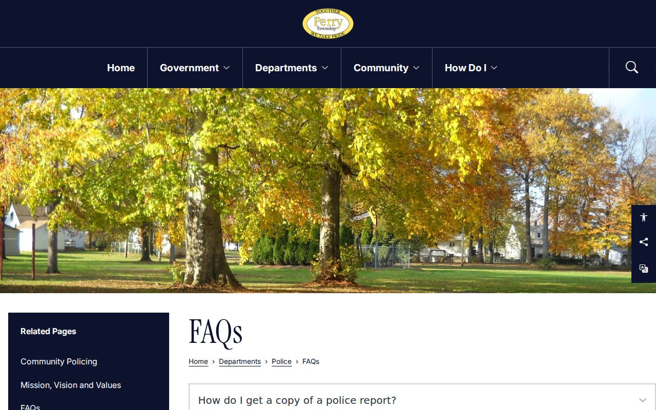
The police-records image is a reminder that a report request is not a searchable neighbor roster. It is a distinct request channel with its own access and privacy rules.
Protect Perry Township Neighbors
A parcel map can show land relationships and an owner profile can show an owner of record. Neither one reveals protected residents, every household member, minors, utility or delivery customers, or an individual’s daily routine. Ohio Safe at Home offers qualifying participants a substitute address for government correspondence and voter registration, but it is not a general deletion tool. Safe at Home and confidential voter protections also mean that redaction or absence cannot be used as an invitation to look for the same person elsewhere.
The limited, lawful uses for block information are personal property questions, civic understanding, family-history work, and voluntary community contact. Ohio’s menacing-by-stalking and harassing-communications laws prohibit turning public records into a tool for watching, threatening, intimidating, or repeatedly contacting a person. A concern about an inaccuracy belongs with the specific public custodian that holds the field.
Lawful use. Perry Township neighbor information must stay tied to a legitimate personal, civic, family-history, or parcel question. Never use it to stalk, harass, threaten, intimidate, or monitor another person.